How to Challenge Unfair Insurance Cancellations in California
- John J

- Jun 2, 2025
- 3 min read
Updated: Jul 20, 2025

Understanding the Recent Surge in Insurance Cancellations
In recent years, insurance cancellations have surged, especially in California. Wildfires have become a seasonal threat, prompting insurance companies to act swiftly. Many of these cancellations happen quickly, often hoping that homeowners will not contest them.
Insurance companies frequently rely on Google Maps satellite photos. They use these images to claim issues like tree encroachment or roof damage. This practice is unprofessional. It places an unfair burden on homeowners, who then must provide evidence to counter the claims made by the insurance companies.
The Story of One Couple
This scenario recently played out for a customer of mine, representing just one of many cases I've encountered. An elderly couple faced cancellation of their insurance due to alleged tree overhang. The insurance company used a Google Maps satellite photo to justify their decision.
Upon closer inspection, the angle and shadows in that photo created a misleading impression. It looked as though trees were touching the roof. However, my drone photos provided clear evidence that no tree overhang existed. Thanks to this visual proof, their insurance was reinstated, and the couple was incredibly relieved.

Why Homeowners Need to Act
If you live in the San Francisco Bay Area and are facing a cancellation based on aerial images, it's crucial to take action. Don’t let the insurance company’s claims go unchallenged. Reach out for assistance. I specialize in navigating this complex process, and I can help you gather the evidence you need.
The Importance of Accurate Evidence
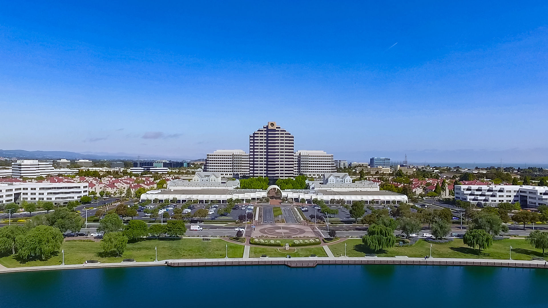
When dealing with insurance issues, accurate evidence is vital. Many homeowners are not aware of the power of technology in these situations. Drones can capture high-resolution images from angles that ground-level photos cannot. This is where I come in.
Drones allow us to clearly demonstrate that there is no tree overhang or any other alleged issues. This evidence can be the difference between losing coverage or keeping your policy intact. It's essential to have a professional evaluation to challenge the insurance company's claims effectively.
Navigating the Claims Process
Participating in the claims process can be daunting. Most homeowners are not familiar with the technical jargon or the extensive paperwork involved. That's where you need someone knowledgeable by your side. Having an expert help you can save you time and stress.
Document Everything: Start by documenting all communications with your insurance company. Keep track of the dates, people you spoke with, and what was discussed.
Gather Evidence: If your insurance company claims there is damage, gather your proof. This may include your own photographs, drone footage, or any other relevant documentation.
Seek Professional Help: If you're uncertain about how to proceed, consider hiring an expert. They can assist you in understanding your rights and options.
Submit a Formal Appeal: If you have collected enough evidence, submit a formal appeal to your insurance company. Ensure that you include all relevant information and any photographic evidence.
Frequently Asked Questions
What should I do if I receive a cancellation notice?
Firstly, read the notice carefully. Identify the reasons for the cancellation. Then, gather evidence to challenge those reasons.
How can I prove my case against the insurer?
Use high-quality photos or drone footage to demonstrate your property's true condition. Having a professional assessment can significantly strengthen your case.
What if my appeal is denied?
If your appeal is denied, you may need to consult an attorney. They can guide you on how to pursue further action.
Next Steps
If you find yourself in a similar predicament, remember that you are not alone. There are resources available to help you contest unfair insurance cancellations. Do not hesitate to reach out for professional help.
Make sure to investigate alternative coverage options, just in case your current insurer remains unwilling to reconsider their decision. Research providers known for fair practices.
In conclusion, stay proactive. Use technology to challenge unfair insurance practices.
If you are in the San Francisco Bay Area and facing an unjust cancellation, contact me. I can help you turn your situation around!


Comments