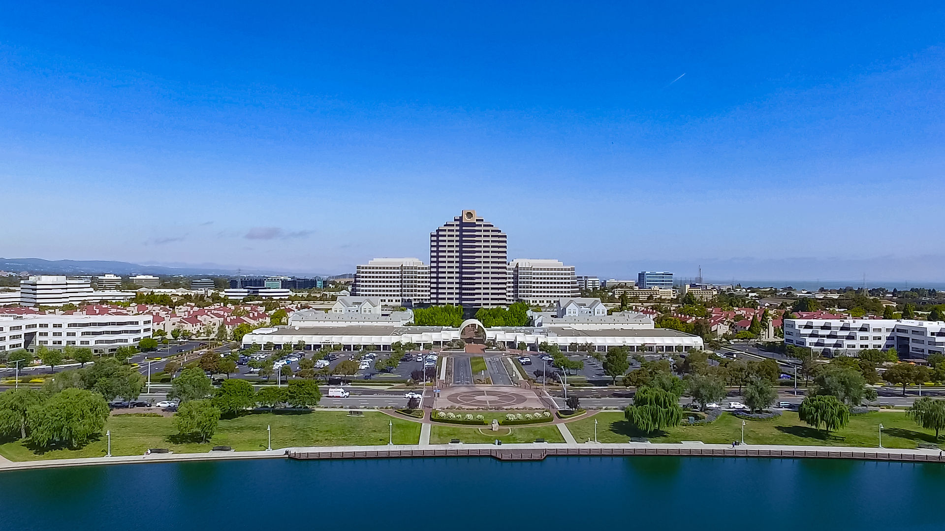
The Sky's the Limit: Unleashing the Full Potential of Drones
- John J

- Mar 21, 2023
- 2 min read
Drones have revolutionized the way we gather and analyze data in various industries. With the help of drones, we can capture aerial imagery and create high-resolution maps that provide valuable insights into a variety of industries. Among those industries, construction, real estate, and surveying are some of the areas where drones are making a significant impact. In this article, we will explore the benefits of drone technology in construction, real estate, and surveying.
Construction Imaging and Mapping:
Construction companies can benefit greatly from drone technology. With the help of drones, construction companies can capture high-resolution images of construction sites and create 3D models, which can be used for a variety of purposes, including site planning, progress tracking, and safety inspections. Drones can also capture detailed images of structures and building components that can be used to identify defects or potential issues.
Aerial and Drone Mapping:
Aerial mapping using drones can provide detailed and accurate information about a construction site. With the help of drones, construction companies can create 3D models of their construction sites, which can be used for site planning and progress tracking. Aerial mapping can also help construction companies to identify potential hazards, such as unstable ground, and to plan for the safe and efficient movement of materials and equipment.
Real Estate Mapping and Surveying:
Real estate companies can benefit from drone technology by using aerial mapping to capture detailed images of properties. With the help of drones, real estate companies can create 3D models of properties, which can be used to showcase properties to potential buyers. Drones can also capture detailed images of properties, which can be used to identify potential issues, such as roof damage or structural issues.
Surveying with Drones:
Surveying companies can benefit from drone technology by using drones to capture detailed images of land and properties. With the help of drones, surveying companies can create 3D models of land and properties, which can be used to provide accurate surveying information to clients. Drones can also capture detailed images of land and properties, which can be used to identify potential issues, such as erosion or land movement.
Conclusion:
Drones have become an essential tool for a variety of industries, including construction, real estate, and surveying. With the help of drones, companies can capture detailed images and create high-resolution maps that provide valuable insights into their operations. Whether it is construction imaging and mapping, aerial mapping, real estate mapping and surveying, or construction surveying, drone technology is changing the way we gather and analyze data. As drone technology continues to advance, we can expect to see even more benefits for these industries in the future.


Comments