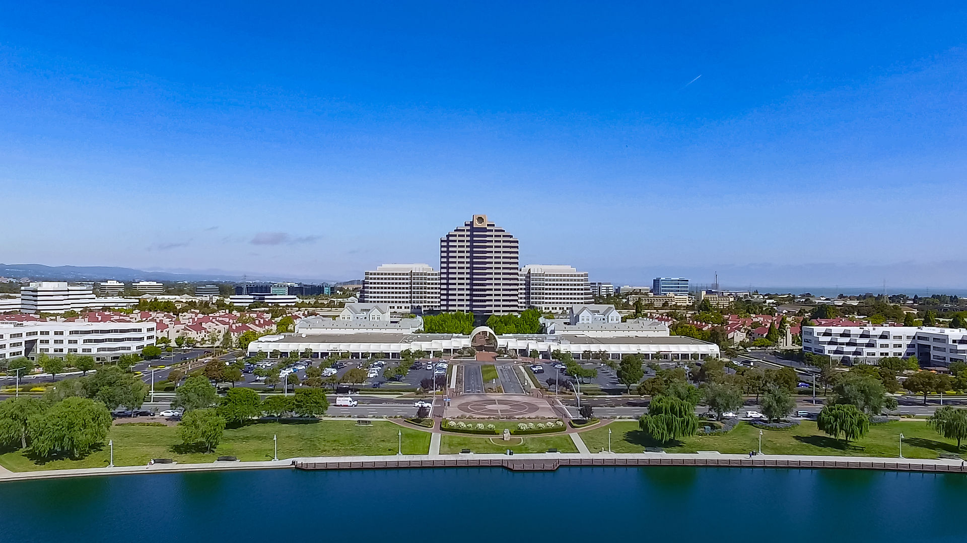
Progress Project in Pacifica
- John J

- Mar 11, 2025
- 2 min read

For the past two years I have been documenting an interesting project in Pacifica, CA. What made this project interesting was its unique footprint as well as the location (not to mention the views!)
Almost from the beginning, there were issues with the weather. A "bomb cyclone" struck just after the foundation footings were dug and this caused quite a bit of damage. Fortunately, I was able to do some extra documentation after the storm to help the developer assess the damage. Documentation is where drones really shine. Nothing beats an overhead, high resolution view to give you information that is accurate and readily understandable.
Another challenge with long-term progress projects is not only the weather, but also with photographic consistency. Photos need to be shot from exactly the same angle, and aerial photos add the Z axis of altitude. For this reason, I automate as much as possible. Using a program called Litchi, I am able to pre-program my altitude and shot angles and then save this sequence. After the initial set up, I can simply launch the program once the drone is airborne and the software does the rest. Every photo will be exactly the same as the last set. The only thing that will change is the progress of construction between shots.
As you can see by the short time-lapse video below, the project is almost complete. There's really a great day of satisfaction when completing one of these long-term projects,
All good things must come to an end, as they say. I will miss this project and will also miss getting lunch at the local Taco Bell, the world's only Taco Bell Restuarant on the beach!


Comments